
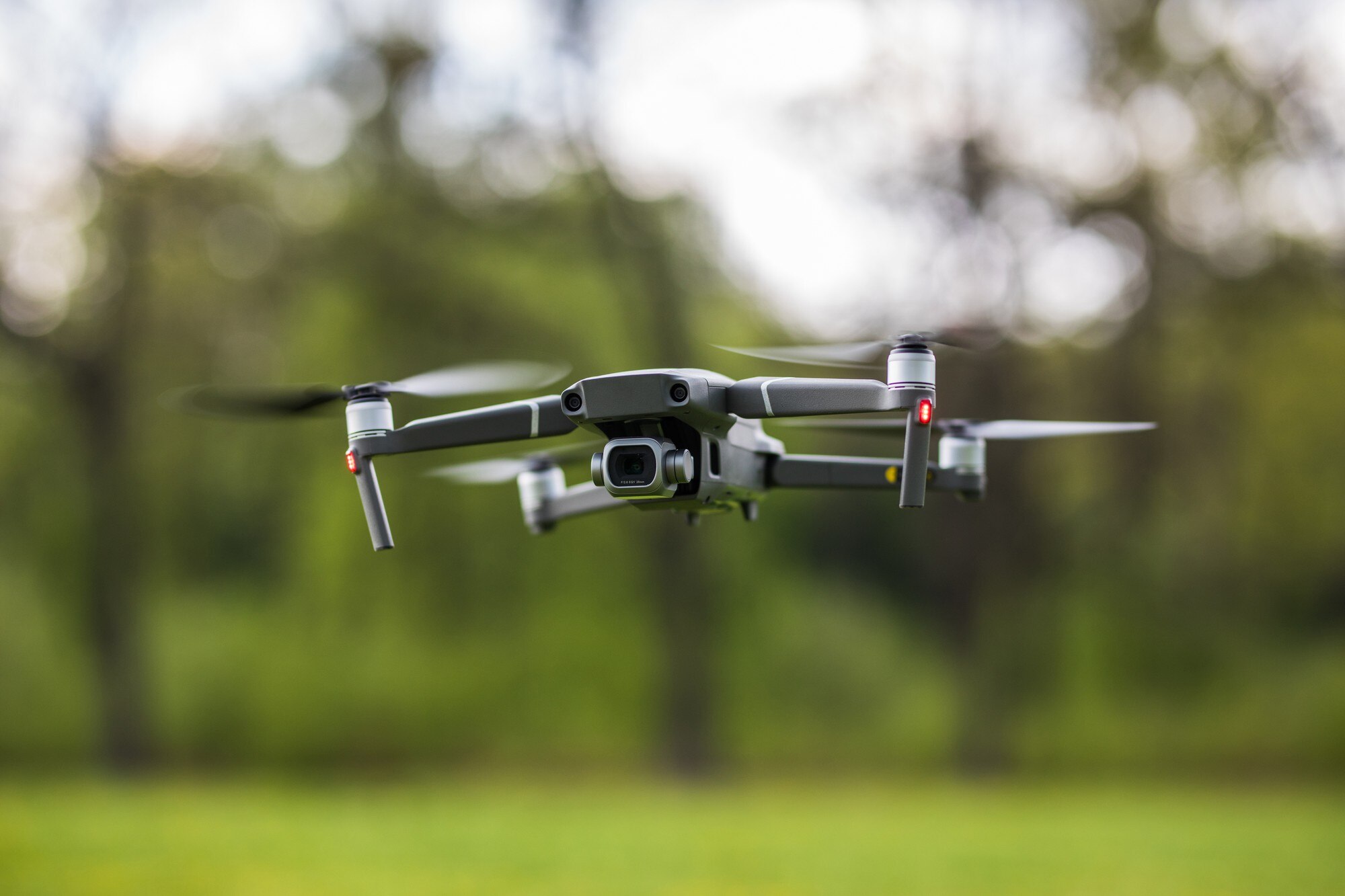
Drone photography has moved from a novelty to a business standard. Whether you run a real estate agency, manage a commercial property, or market a local brand, aerial visuals communicate scale, context, and professionalism in a way no ground-level shot ever can. At VRLY Multimedia, we use FAA-certified drone operators and high-resolution equipment to help Columbus, NE businesses capture images that do more than look good. They drive results.
This guide breaks down how drone photography works, where it delivers the most value, and what separates a forgettable aerial shot from one that actually moves buyers and audiences to act.
Why Do Ground-Level Photos Fall Short?
Ground-level photography tells a partial story. It shows a front door, a lobby, or a product on a shelf. What it cannot show is relationship: how a property sits within a neighborhood, how large a commercial lot actually is, or how a business campus connects to surrounding infrastructure.
That gap matters more than most people realize. Buyers making real estate decisions, event organizers scouting venues, and marketing teams trying to differentiate a brand all need that wider view. When they don’t get it, they fill the void with assumptions, and those assumptions rarely work in your favor.
Aerial photography removes the guesswork. It gives your audience the full picture before they ever set foot on location.
What Industries Benefit Most From Drone Photography?
Real Estate Listings
This is where drone photography delivers its most measurable return. Properties photographed with aerial imagery consistently attract more online views than those without. For listings above a certain price point, drone coverage is no longer optional. Buyers expect it.
Our real estate listing photography and videography packages are built specifically for agents who want their properties to stand out on the MLS and on social media. A Package A (photos only) or Package B (photos plus walkthrough video) gives a listing a professional presentation that justifies the asking price before a single showing is scheduled.
One detail agents often miss: drone shots are especially powerful for acreage properties, corner lots, and homes near distinctive landmarks or water features. These are selling points that simply cannot be communicated from the ground.
Commercial Real Estate and Development
For commercial properties, aerial photography answers the questions that floor plans cannot. How accessible is the site? What is the traffic flow around it? How much parking does it actually have? A well-composed drone shot answers all three in a single frame.
Construction firms and developers also use drone photography to document project progress, provide stakeholder updates, and build a visual record of site work over time. This kind of documentation has practical value beyond marketing. It protects against disputes and keeps remote investors informed.
Brand and Marketing Campaigns
Brands in Columbus and across Nebraska are increasingly using aerial visuals as part of their broader marketing packages to communicate scale and quality. A regional food producer showing their facilities from above, a hospitality brand showcasing the surrounding landscape, or an event company documenting a large outdoor activation. These are all cases where drone photography earns its cost many times over.
The key is integration. Aerial imagery used in isolation rarely performs as well as aerial imagery woven into a complete campaign. When combined with videography and strong digital distribution, it becomes a cornerstone of the brand story rather than a standalone asset.
What Does FAA Certification Actually Mean for You?
Not all drone operators are created equal. In the United States, commercial drone operations require a Part 107 certification from the Federal Aviation Administration. This is not a formality. It covers airspace rules, weather limitations, restricted zones, and operational safety protocols.
When you hire an uncertified operator to save money, you take on legal liability for every flight. If the drone causes damage or violates airspace regulations, your business is on the hook, not the operator.
Our pilots hold current FAA certification and plan every shoot around the specific airspace conditions at your location. That includes checking for temporary flight restrictions, proximity to airports, and local ordinances that apply in Columbus, NE and surrounding areas. You get clean, legal imagery without the risk.
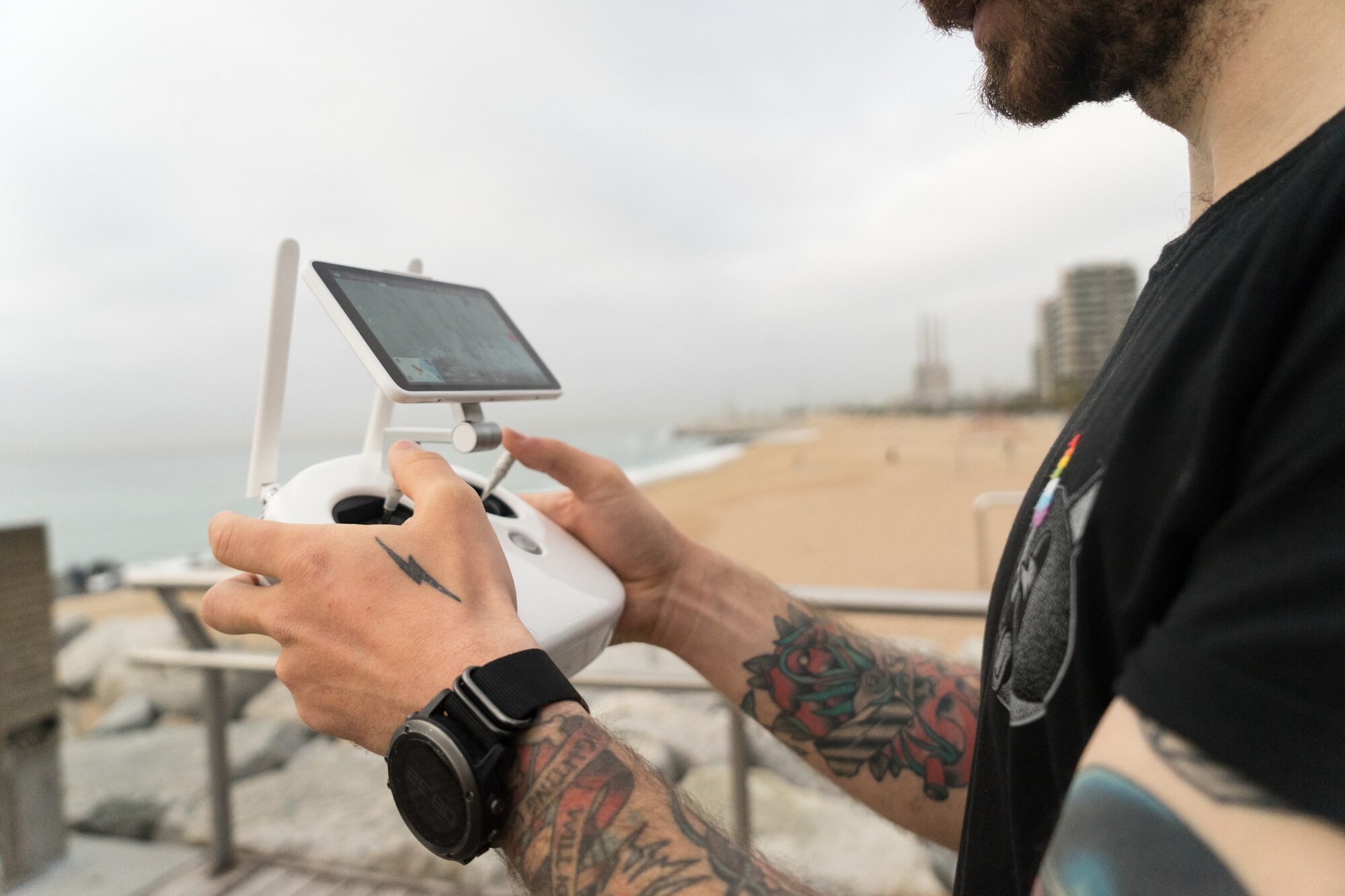
How Is a Drone Photography Shoot Actually Planned?
Most clients assume a drone shoot means showing up and flying. The reality involves more preparation than that, and the preparation is what separates sharp, usable imagery from mediocre shots that don’t work in marketing materials.
Here is what a well-planned shoot includes:
Location analysis: The operator reviews the property or site in advance, identifying the best angles, potential obstructions, and optimal flight paths. This is done before the day of the shoot, not on arrival.
Lighting windows: The best drone photography happens in the first two hours after sunrise or the two hours before sunset. These windows produce soft, directional light that adds depth and warmth to aerial shots. Scheduling around these windows is non-negotiable for quality results.
Shot list development: Before flying, we work with you to identify exactly what the images need to communicate. A real estate listing has different priorities than a construction progress report or a brand campaign. The shot list keeps the shoot efficient and ensures nothing important is missed.
Post-processing: Raw drone footage requires editing for color correction, perspective adjustment, and format optimization. Images delivered for MLS use are processed differently than images destined for a website banner or a print campaign.
This level of planning is built into every drone shoot we manage out of our Columbus, NE location.
What Separates a Strong Aerial Image From a Weak One?
This is the question most clients don’t know to ask. Drone photography can look impressive in theory and still fail in practice if the composition is wrong.
A few things the best aerial images always get right:
Altitude is chosen, not defaulted. Inexperienced operators fly at the same height for every shot. Strong aerial photography uses varied altitudes, close enough to show architectural detail, high enough to establish context, and everything in between. The right altitude depends on what the image needs to say.
There is a clear subject. Aerial images that show everything equally tend to communicate nothing clearly. Strong shots have a compositional anchor, the main building, the entrance, the feature that makes the property or brand distinctive.
The background is an asset. The surrounding landscape, skyline, or street grid can either strengthen or weaken a shot. Good planning considers what appears in the frame behind and around the subject, not just the subject itself.
The image is optimized for its destination. A photo that works beautifully at full resolution on a website may be cropped awkwardly on a listing platform or become unusable at a small size on mobile. Knowing the final destination of each image before the shoot shapes how it is framed and edited.
How Does Drone Photography Fit Into a Complete Marketing Strategy?
Aerial imagery performs best when it is part of a coordinated content approach rather than a standalone deliverable. Here is how it connects to other parts of a marketing plan:
When paired with website development, drone photography gives a homepage or landing page visual weight that static stock images cannot match. A business that wants to show what it actually does and where it operates builds immediate credibility with aerial content.
In social media management, aerial imagery is among the highest-performing content formats. Overhead shots of properties, events, or facilities generate strong organic engagement because they offer a perspective audiences rarely see.
For digital advertising campaigns, aerial visuals in ad creative consistently outperform standard photography in click-through rates, particularly for real estate, hospitality, and event-based businesses.
Branding work also benefits from drone photography when a business wants to show the scale or location of its operations as part of its identity. A manufacturer in Columbus, NE that serves regional clients has a stronger brand story when that story includes aerial documentation of its facilities.
FAQ: Drone Photography for Business
How far in advance should I schedule a drone shoot?
Booking at least one week out gives us time to complete location analysis, check airspace restrictions, and plan the shoot around the best lighting windows. For complex commercial projects or large acreage properties, two weeks is better.
Can drone photography be used in print materials?
Yes. High-resolution drone images are fully compatible with print applications including brochures, banners, and presentation folders. The key is confirming the output resolution during the planning stage so images are captured and processed accordingly.
Does weather affect the shoot?
Wind speed and cloud cover both affect image quality and flight safety. We monitor conditions in the days leading up to a shoot and reschedule when conditions do not meet our quality standards. A drone shot taken in poor conditions is not usable. Rescheduling is always the right call.
Is drone photography only for large properties?
Not at all. Smaller properties benefit when their surroundings are a selling point, such as proximity to parks, downtown areas, or water features. Context sells, and context requires altitude.
Do I own the images after the shoot?
Yes. Final edited images are delivered to you for use across your marketing channels, including the MLS, your website, social media, and print materials.
Conclusion
Drone photography is not a luxury for businesses that want to communicate their full value. It is a practical investment with measurable returns in real estate, commercial development, and brand marketing. The difference between a listing that sits and one that generates showings, or between a brand campaign that blends in and one that gets shared, often comes down to the quality and perspective of the visuals behind it.
At VRLY Multimedia, we combine FAA-certified drone operations with a complete suite of photography, videography, and marketing services to help Columbus, NE businesses build visual content that works as hard as they do. If aerial imagery is the piece your marketing has been missing, we are ready to help you get it right.